Subak and the Water-Temple Landscape
Cooperative irrigation shaped Bali's fields and communities · Kingdoms & Sacred Landscapes
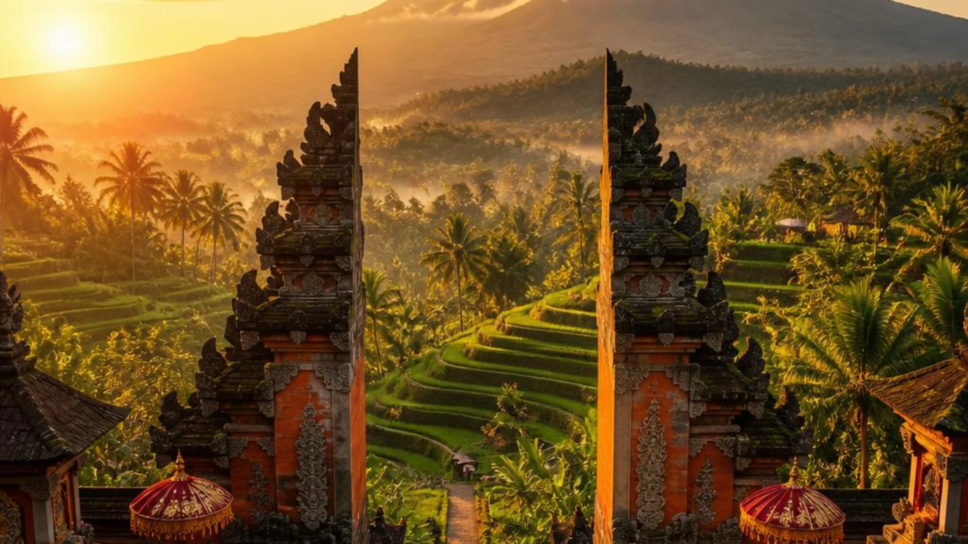
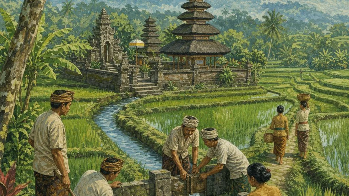
Subak is not simply an irrigation technique. It is a cooperative system through which farmers share water, maintain canals, coordinate planting, and participate in temple rituals. UNESCO recognizes the cultural landscape formed by water temples and rice terraces as an expression of tri hita karana, the Balinese principle of balance among people, nature, and the spiritual world.
Timeline
Early evidence of irrigated rice cultivation
Balinese inscriptions from the ninth century refer to rice fields and water management. The surviving evidence does not identify a single founding date for subak; the system developed over time.
Irrigation communities become established
By the eleventh century, inscriptions provide clearer evidence of organized irrigation associations. Farmers coordinated water use across landscapes whose canals and fields crossed ordinary property boundaries.
UNESCO lists Bali's cultural landscape
UNESCO inscribed five sites that represent Bali's interconnected water-temple and subak system, including the Supreme Water Temple of Pura Ulun Danu Batur and the rice terraces of the Pakerisan and Catur Angga Batukaru landscapes.

Explore related destinations
Use these destination guides to plan a respectful visit.
Related reading from our blog
- Ubud, Bali: Where to eat
Ubud is inland Bali shaped by river valleys, rice-growing landscapes, workshops, temples, and a dense town center. This guide is specifically about where to eat: how to move from everyday warung meals to thoughtful restaurants, coffee stops, markets, and memorable local flavors. The aim is not to turn the area into a c
- Ubud, Bali: A three-day itinerary
Ubud is inland Bali shaped by river valleys, rice-growing landscapes, workshops, temples, and a dense town center. This guide is specifically about a three-day itinerary: a calm, flexible sequence of mornings, afternoons, and evenings that leaves room for traffic, weather, and unplanned discoveries. The aim is not to t
- Ubud, Bali: A first-time guide
Ubud is inland Bali shaped by river valleys, rice-growing landscapes, workshops, temples, and a dense town center. This guide is specifically about a first-time guide: the personality of the area, the kinds of travelers it suits, and how to explore beyond its headline sights. The aim is not to turn the area into a chec
- Ubud, Bali: When to visit
Ubud is inland Bali shaped by river valleys, rice-growing landscapes, workshops, temples, and a dense town center. This guide is specifically about when to visit: weather rhythms, shoulder-season trade-offs, and how to plan around rain, surf, ceremonies, and daylight. The aim is not to turn the area into a checklist. I
Sources
Citations behind the dates, names, and numbers on this page.
- 1UNESCO World Heritage Centre — Cultural Landscape of Bali Province
Primary reference for the listed landscapes, subak institutions, water temples, and tri hita karana.